Why Snow Forecasts Change 48 Hours Out: Understanding Confidence Levels
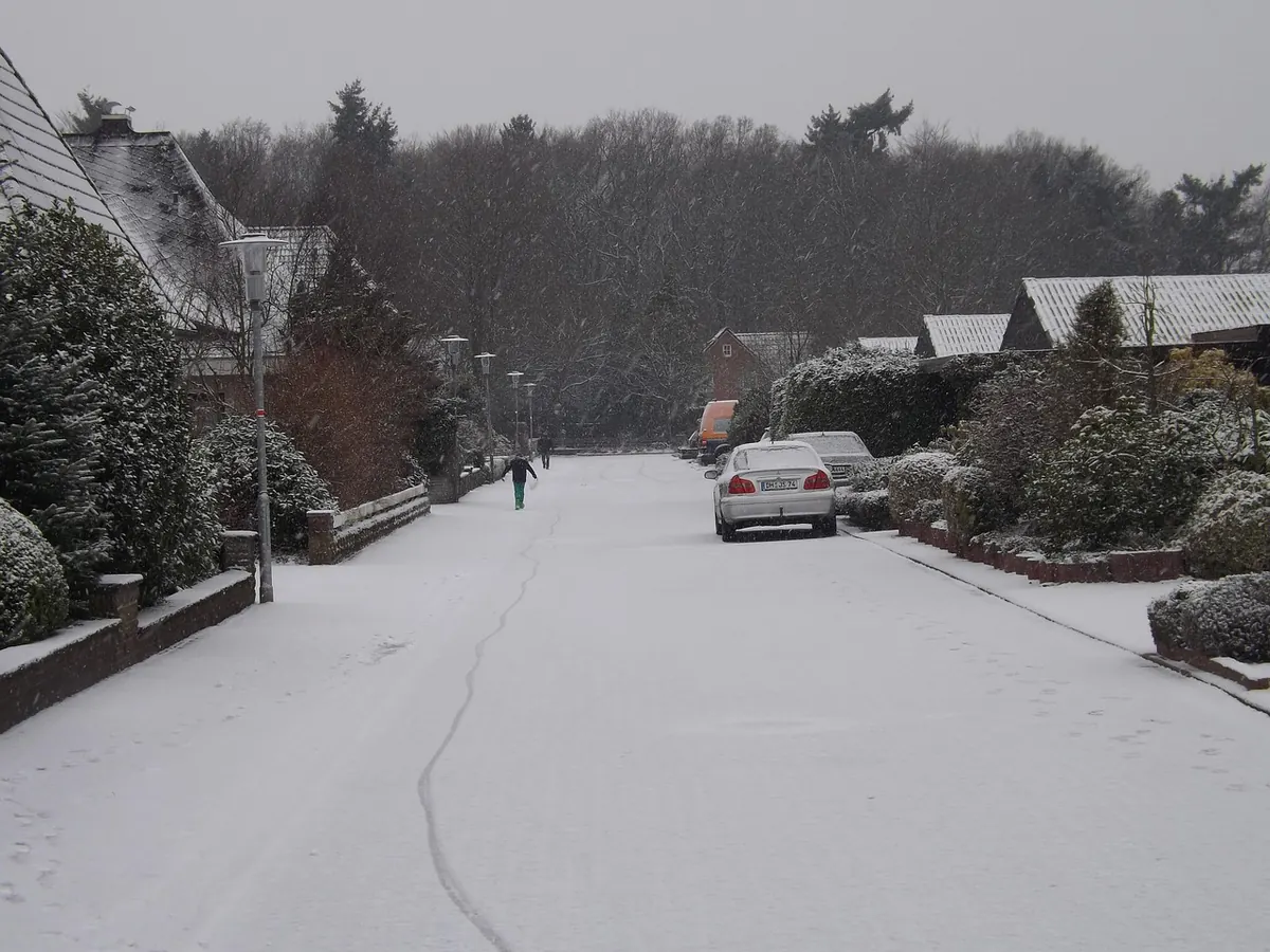
A snow warning appears on your phone on Tuesday. You plan around it, dig out the sledge, warn the kids. By Thursday morning it has gone — replaced by a grey icon and a shrug. It feels like the forecast let you down. In reality, it did exactly what a forecast should: it described a range of possibilities, then narrowed them as the event got closer. Understanding that narrowing, and the confidence levels behind it, makes the whole business far less maddening.
Why 48 Hours Is the Awkward Middle of a Snow Forecast
Forecast models work from a snapshot of the atmosphere and then run it forward. Small errors in that snapshot grow with time, which is why a five-day outlook can confidently tell you that cold air is heading our way without having any idea whether snow will land on Sheffield or Shropshire.
By 48 hours out, the big picture is usually settled. We know a cold spell is coming, we know roughly when. What is still wobbling is the detail: the exact track of a low-pressure system, the position of a front, the depth of the cold air behind it. Those details move by tens of kilometres and fractions of a degree from one run to the next — and in Britain, that is often the difference between a white morning and a wet one.
We sit on a small island at the edge of the Atlantic, where mild ocean air and cold continental air spend winter pushing against each other. Snow generally arrives in the narrow zone where they meet. Move that zone 50 miles and you change who gets what.
The One-Degree Problem: When Snow Becomes Sleet, Then Rain
Most UK snow forecasts fail on temperature, not on precipitation. Snow forms high in the cloud, where it is comfortably below freezing, so it starts falling as snow almost every time. The question is what happens on the way down.
A layer of air just above freezing — even a shallow one — will melt flakes into sleet or drizzle before they reach your garden. This is why the forecast can say "snow" and you get a cold, disappointing rain. The wet-bulb temperature is the figure forecasters lean on here, because it accounts for how much the air will cool as falling snow melts into it. It is a more honest guide than the number on your thermometer.
Intensity matters too. Heavy precipitation drags colder air down with it and can cool the surface, which is why a brief burst sometimes settles while hours of light flurries do nothing at all. And then there is the ground. Snow that falls onto a road that has been holding warmth all day will melt on contact; the same snow at three in the morning on a frosty surface will stick.
Put those factors together and a forecast sitting at 1.5°C with light precipitation is genuinely on a knife-edge. Nudge any one of them and the outcome flips.
What Forecasters Are Actually Weighing Up
A snow forecast is not one number. It is a set of competing variables, each with its own uncertainty:
- Track and depth of low pressure — a slight shift north or south moves the snow band with it.
- Wind direction — a northerly brings cold, dry air; an easterly picks up moisture over the North Sea and can deliver showers to eastern coasts.
- The boundary layer — the lowest kilometre or so of the atmosphere, where melting and cooling happen.
- Elevation — hills can be several degrees colder than the valley floor a few miles away.
- Ground and road temperatures — deciding whether snow lies or disappears.
- Timing — snow during the afternoon commute behaves very differently to snow at dawn.
Change one of those and the picture changes. Change two and you have a different forecast entirely.
Confidence Levels in Plain English
Modern forecasting deals with uncertainty by running the same model many times with slightly different starting conditions. The results form an ensemble: a spread of possible outcomes. If most of those runs put snow over your area, confidence is high. If half do and half do not, you are looking at a coin toss dressed up as a forecast.
That is why you will see phrasing such as "a chance of snow", "snow likely on high ground", or "uncertain". Those words are not hedging. They are the forecast. A 40% chance of snow means exactly that — not a prediction that it will not snow.
Warning colours work the same way. A yellow warning means be aware and keep an eye on updates. Amber means impacts are more likely and you should be prepared to change plans. Red is reserved for significant disruption and is rare in the UK. Crucially, warnings describe impacts, not just weather. Two centimetres of snow on a quiet rural lane is not the same as two centimetres on the M25 at rush hour, and warnings reflect that.
Why a Warning Can Disappear Overnight
Warnings are updated as fresh observations arrive — from weather balloons, aircraft, satellites and thousands of ground stations. The overnight run of the models, built on that newer data, is often the one that shifts the story.
Common reasons a warning vanishes:
- The front tracks further north, taking the snow with it.
- Temperatures come in a degree or two milder than expected, turning snow to rain at low levels.
- Precipitation arrives lighter or later than forecast, so nothing settles.
- The risk remains, but falls below the threshold for a warning across the whole area.
A withdrawn warning does not always mean nothing will happen. It often means the risk is now too small, too localised, or too uncertain to justify alerting millions of people.
How to Read a Snow Forecast Without Losing the Plot
- Watch the trend, not one run. If three consecutive updates show snow retreating, believe it.
- Check the temperature, not the icon. A snowflake icon at 3°C usually means sleet or nothing.
- Adjust for where you live. Higher ground, inland areas and anywhere away from the coast hold snow far better.
- Read the warning text. It tells you where, when and what kind of disruption is expected.
- Look at the timings. A window of two hours matters more than a whole-day symbol.
- Check again 12 to 24 hours out. That is when the forecast is genuinely useful for planning.
Making Plans When the Details Are Still Moving
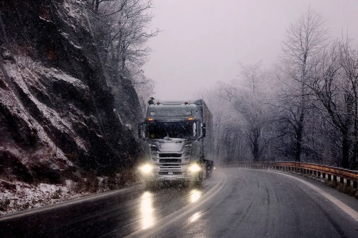
Treat a snow forecast 48 hours out as a heads-up rather than a promise. Keep a plan B for travel, allow extra time, and check the forecast again the evening before — that is when confidence is highest and the details are least likely to move again. If you must drive in snow, go slowly, use gentle inputs and only travel if it is necessary; check local travel advice before setting out.
Cold snaps also bring real risks beyond the roads, so keep an eye on older neighbours and anyone living alone, and follow NHS cold weather advice if you have a heart or lung condition. And if the snow does not arrive, remember that a forecast which honestly described a 50/50 chance was still doing its job.
Photo: 22010 / Pixabay